Image

Weston boasts a naturally wide bay, so the town is spread out. From Royal Sands in the south, to Birnbeck Pier in the north, the wooded hill in the north east and Weston-super-Mare Railway Station to the east.
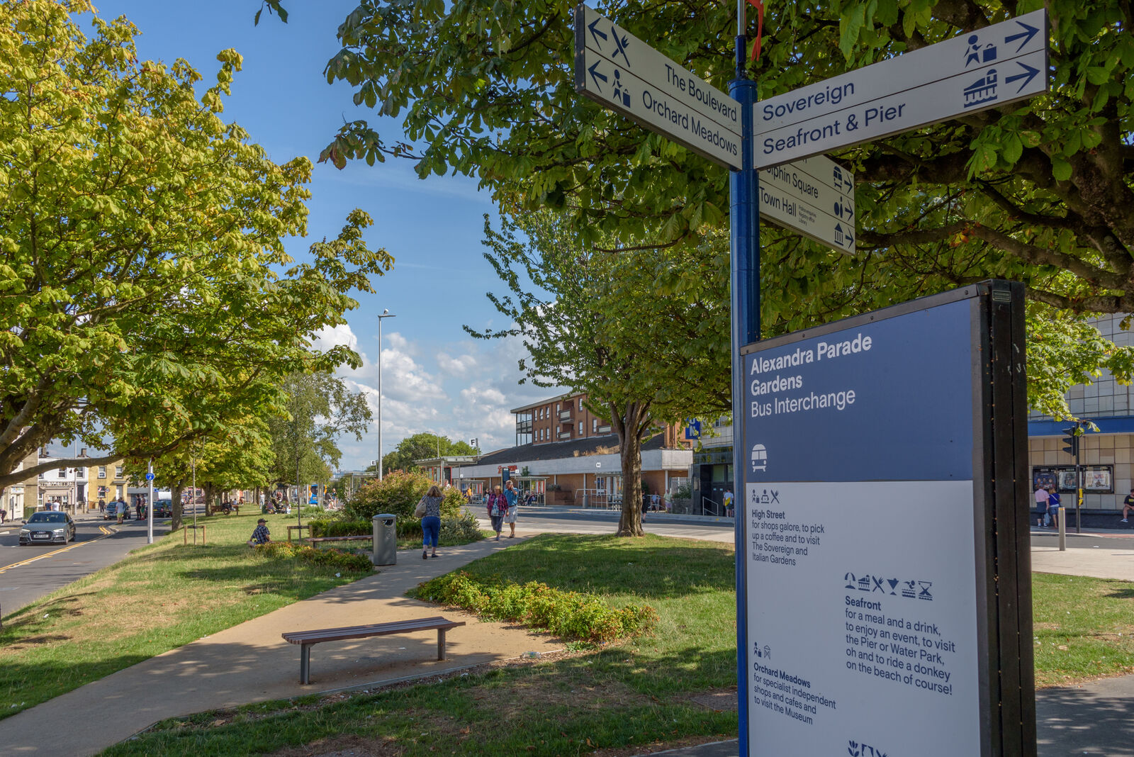
As part of our wayfinding improvements, we will
With a focus on active travel – including cycling and walking – we want to encourage people to move around. From the town centre, to the seafront and up into the woodland, we want to encourage people to discover the many hidden treasures on offer.
We are working closely with Weston-super-Mare Town Council, which provides the visitor information service for Weston.
In May 2024, we announced that we had appointed architecture practice We Made That to design improvements to wayfinding and deliver a programme to get people involved in that process.
Everyone is invited to take part. Watch this space for more updates.

This project has been made possible thanks to the council’s successful bid for £20 million from the UK government’s Levelling Up Fund.
This is part of North Somerset Council’s ambitious placemaking vision for Weston.